Spectacular landscapes along Xizang section of China's longest national highway
 |
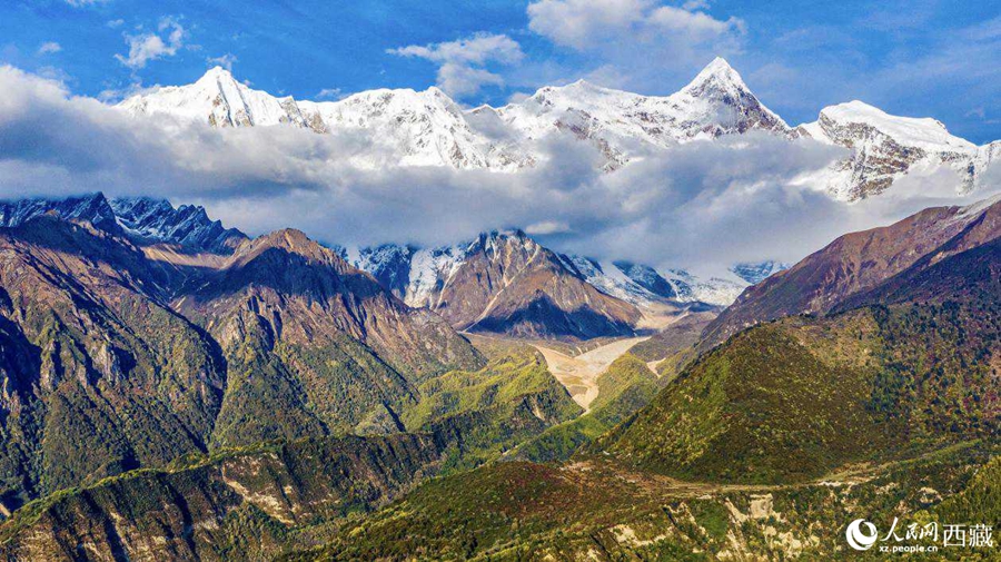
| Photo shows a beautiful view of Mount Namjagbarwa in Nyingchi city, southwest China's Xizang Autonomous Region. (People's Daily Online/Tsering Norbu) |
Encompassing a full spectrum of geographic features on earth, the section of the G219 national highway, China's longest national highway along its land borders, in southwest China's Xizang Autonomous Region offers breathtaking views of natural landscapes.
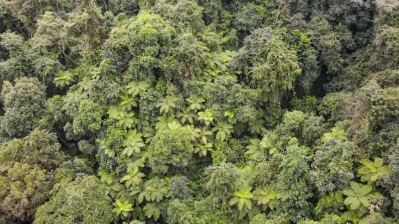
Stretching from frigid highlands to tropical zones, the Xizang section of the G219 national highway connects many natural wonders of the world, such as the Himalayan mountains, the world's most magnificent mountain ranges; Mount Qomolangma (Everest), the world's highest peak; Medog county, one of the most biodiverse places on earth; and the Yarlung Zangbo Grand Canyon, the world's deepest canyon.
A journey along the Xizang section of G219 is a geographical feast for the eyes. Travelers can experience dramatic visual transitions from ice-capped mountains to rivers and lakes, from barren deserts to forests and grasslands, and from lofty mountains and deep valleys to pastoral country scenes. Each sight presents a new landscape spectacle.
 |
Photos
Related Stories
- Xizang schools visits, interviews debunk "forced assimilation" claims
- Housing project improves grassland life at winter pastures in Xizang
- New land port linking China's Xizang with Nepal opens
- To open new, splendid era of long-term peace, stability, high-quality development in Xizang
- Highlights of white paper on CPC policies on governance of Xizang in new era
- Xizang establishes 15-year publicly-funded school education system: official
- Xizang expects air passenger throughput to exceed 6 mln: official
Copyright © 2023 People's Daily Online. All Rights Reserved.


