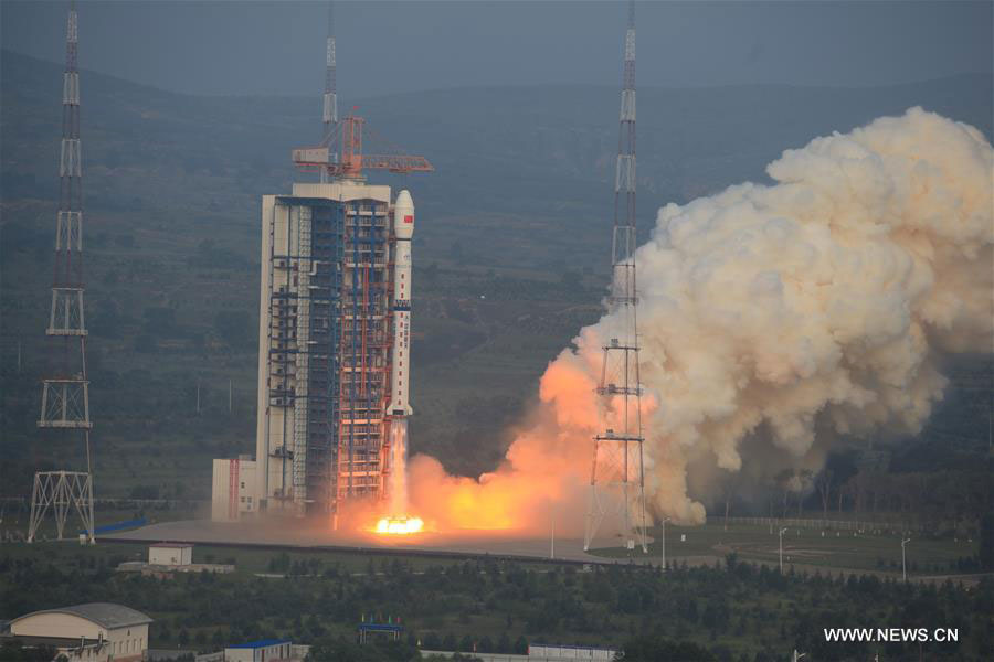


A Long March 4C rocket carrying a new high-resolution Synthetic Aperture Radar (SAR) imaging satellite blasts off at the Taiyuan Satellite Launch Center in Taiyuan, capital of north China's Shanxi Province, Aug. 10, 2016. As China's first SAR imaging satellite that is accurate to one meter in distance, it covers the globe with an all-weather, 24-hour observation service and will be used for disaster warning, weather forecasting, water resource assessments and protection of maritime rights. [Photo: Xinhua]
 |
Day|Week