Chinese photographers undertake trip to capture rare pictures of Mount Qomolangma

Dong Shuchang (left) and Ma Chunlin (Photo/yangtse.com)
To commemorate the 100th anniversary of mankind’s first Mount Qomolangma expedition, two young men from China went on a photography trip to the mountain. The stunning views of the giant mountain peak turning pink during the sunrise thrilled the two while on their trek.
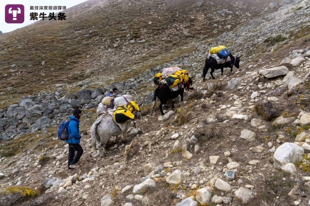
The two photographers arrived at the mountain by following the same path taken by the English mountaineer and explorer George Mallory, who had died on one of his ascents of Mount Qomolangma. They arrived at a place called the Kada Valley, which has an elevation of 5,700 meters and sits to the east of Mount Qomolangma, using it as a safe platform where they could admire the mountain. Seen from this angle, the magnificent mountain appeared like a massive pyramid.

Photo shows Dong Shuchang and Ma Chunlin on their photography trip to Mount Qomolangma. (Photo/yangtse.com)
Ma Chunlin, a photographer born in 1995 in Chengdu, southwest China’s Sichuan Province, spent a long time capturing photos in the Tibet Autonomous Region during a year-long visit there. In 2019, he saw the Kada Valley on the map, and realized that it would be a good platform for shooting pictures of Mount Qomolangma. In late September, Dong went on a photography trip to Mount Qomolangma, sponsored by the Chinese National Geography magazine.

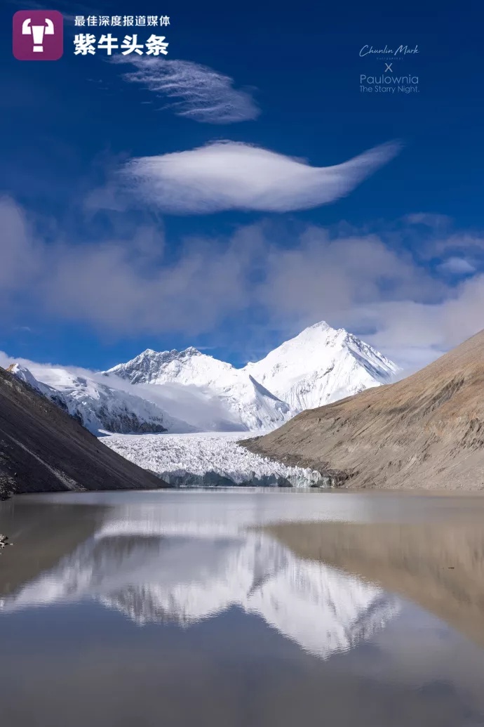
Photo shows the Kada glacier near Mount Qomolangma. (Photo/yangtse.com)
Dong Shuchang, born in 1998 and from Yinchuan, northwest China’s Ningxia Hui Autonomous Region, was crowned the overall winner of the 2021 Astronomy Photographer of the Year competition and won the Royal Observatory Greenwich’s title of Astronomy Photographer. With a similar interest in geographical photography, Dong joined Ma on the September trip.
Because the route had not been taken by any explorer for a period of 100 years after Mallory, before embarking on the journey, Ma and Dong carefully studied 400 pages of documents recording Mallory’s trip and then planned their own route. The preparatory work lasted three months from June to September.
Setting off on Sept. 23, the two had to deal with adverse weather and bad road conditions, as well as encountering some very dangerous animals before they finally arriving at the Kada Valley. However, it was cloudy up there at the time and they could not see Mount Qomolangma behind the clouds. What was worse, due to the low temperatures, their batteries drained very fast, so they had to keep the batteries warm using their body heat in an attempt to ensure they wouldn’t deplete so quickly.

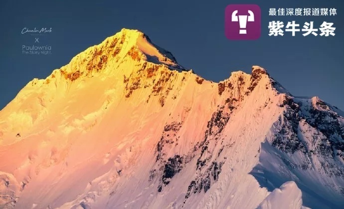
Mount Qomolangma is bathed in the sunshine early in the morning. (Photo/yangtse.com)
In the early morning of Sept. 26, the clouds swirling around Mount Qomolangma began to fade away, finally granting a view of the giant mountain before them.
“Words couldn’t express my feelings at that moment. The mountain peak turned pink during the sunrise, and we couldn’t help but cry out loud ‘Mount Qomolangma glows!’” The miraculous view lasted for two hours, during which the two photographers were able to clearly spot the climbing route along the mountain’s northern slope.

A thin layer of clouds appearing like a floating veil is seen above Mount Qomolangma. (Photo/yangtse.com)
The two photographers instantly put their cameras and drones into place and started to record the breathtaking scenery. They were also lucky to capture the moment when a thin layer of clouds, which looked like a floating veil, swirled around the peak of the mountain for just about 30 seconds.

Photo shows a hat-shaped cloud in the sky. (Photo/yangtse.com)
The photos taken by the two photographers during their journey were taken up by the Chinese National Geography magazine for inclusion in its latest edition. The two photographers expressed that they were happy about this opportunity and thought that their trip was worth all the effort despite all the difficulties they had encountered.
Photos
Related Stories
- Latest measurement of height of Mount Qomolangma good test of China's scientific and technological strength
- Scenery of Mount Qomolangma
- Environmental protection constantly enhanced for Mount Qomolangma
- China completes first Mount Qomolangma airborne gravity survey
- Chinese survey team reaches the summit of Mount Qomolangma
- China’s homegrown navigation system applied to measurement of Mount Qomolangma
Copyright © 2021 People's Daily Online. All Rights Reserved.


